Birmingham Population | Growth, Density & Home Ownership Statistics
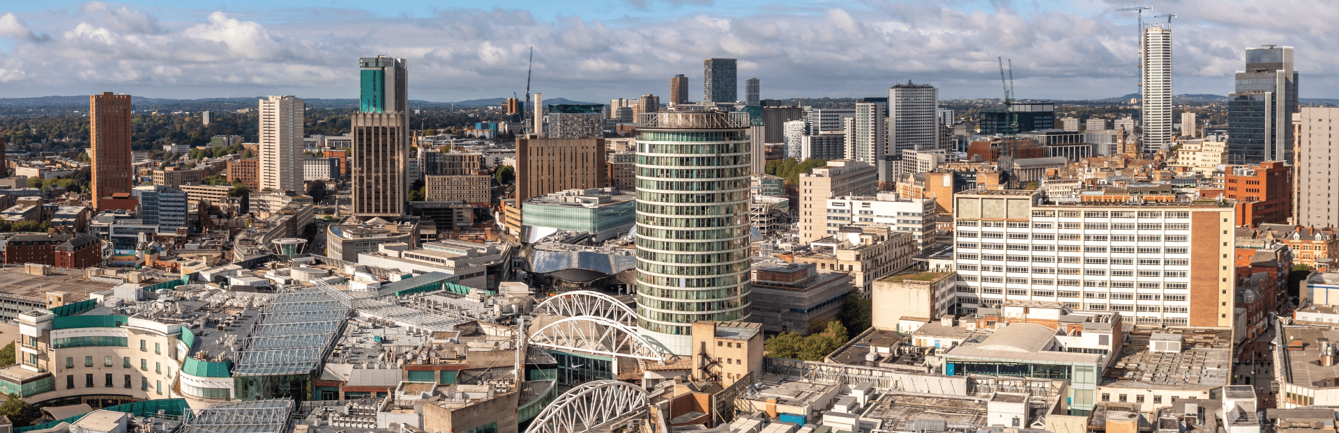
Birmingham is the UK's second city, and the 2021 Census shows it growing fast. The population passed 1.14 million, up 6.7% since 2011. That outpaced the West Midlands as a whole (6.2%) and roughly matched England (6.6%). More people means more pressure on housing, which is one reason bringing the region's West Midlands empty homes back into use matters.
For investors weighing up the city, the number to watch is the rent-to-own split. Just over half of Birmingham households (53.5%) own their home. The other 46.5% rent. That sits well above the national average, though below the rental share you see in Manchester or London. It is part of why buy-to-let in Birmingham tends to land in the middle: solid rental demand, but more affordable entry prices than the bigger northern and southern cities.
Article updated: June 2026
Birmingham is not one market, though. Small Heath (B10) packs in more than 24,000 people per square mile. Leafy Sutton Coldfield (B75) has under 3,000. The table further down breaks the 2021 Census into every Birmingham postcode, so you can see exactly how the population, households and density shift across the city, whether you are buying your first investment property or adding to a portfolio.
Birmingham Population by Postcode
This table sets out the 2021 Census for every Birmingham postcode, grouped by area of the city and ranked by population within each group. Central postcodes hold smaller resident populations but the highest densities, which reflects city-centre apartment living. The outer suburbs spread similar household numbers over far more ground. Watch the density column to see where the city packs people in most tightly.
Central Birmingham
| Postcode | Area | Population (2021) | Households | Density (per sq mile) |
|---|---|---|---|---|
| B19 | Lozells | 20,152 | 6,594 | 22,312 |
| B18 | Hockley | 16,337 | 6,180 | 14,153 |
| B5 | Digbeth | 12,008 | 5,058 | 12,449 |
| B1 | City Centre | 8,512 | 4,525 | 16,959 |
| B4 | City Centre | 3,838 | 464 | 11,448 |
| B3 | City Centre | 2,225 | 1,405 | 11,697 |
| B2 | City Centre | 653 | 472 | 12,796 |
North Birmingham
| Postcode | Area | Population (2021) | Households | Density (per sq mile) |
|---|---|---|---|---|
| B23 | Erdington | 42,854 | 18,743 | 15,612 |
| B44 | Perry Barr | 37,447 | 15,044 | 14,487 |
| B20 | Handsworth Wood | 34,734 | 11,183 | 15,924 |
| B74 | Sutton Coldfield | 32,007 | 13,301 | 3,664 |
| B21 | Handsworth | 29,626 | 9,638 | 17,824 |
| B43 | Great Barr | 28,796 | 11,795 | 9,677 |
| B24 | Erdington | 28,259 | 11,662 | 9,362 |
| B75 | Sutton Coldfield | 26,863 | 11,019 | 2,952 |
| B42 | Perry Barr | 23,647 | 9,305 | 10,731 |
| B6 | Aston | 18,812 | 5,553 | 12,618 |
| B35 | Castle Vale | 9,931 | 4,223 | 8,345 |
| B72 | Sutton Coldfield | 9,660 | 3,951 | 8,153 |
| B7 | Nechells | 8,548 | 3,440 | 7,164 |
East Birmingham
| Postcode | Area | Population (2021) | Households | Density (per sq mile) |
|---|---|---|---|---|
| B8 | Washwood Heath | 42,227 | 11,975 | 19,227 |
| B37 | Chelmsley Wood | 35,871 | 15,369 | 4,696 |
| B36 | Castle Bromwich | 34,670 | 13,547 | 13,119 |
| B33 | Kitts Green | 34,420 | 13,663 | 12,317 |
| B26 | Sheldon | 32,456 | 13,393 | 12,558 |
| B10 | Small Heath | 26,004 | 7,108 | 24,110 |
| B27 | Acocks Green | 25,331 | 10,206 | 15,812 |
| B9 | Bordesley Green | 24,915 | 7,548 | 16,865 |
| B34 | Shard End | 18,941 | 8,112 | 11,691 |
| B25 | Yardley | 15,860 | 5,982 | 14,151 |
South Birmingham
| Postcode | Area | Population (2021) | Households | Density (per sq mile) |
|---|---|---|---|---|
| B31 | Northfield | 53,767 | 22,747 | 11,011 |
| B11 | Sparkhill | 44,391 | 12,602 | 18,779 |
| B14 | Kings Heath | 42,696 | 17,836 | 12,294 |
| B29 | Selly Oak | 42,512 | 15,251 | 13,830 |
| B13 | Moseley | 37,667 | 15,389 | 12,000 |
| B28 | Hall Green | 30,345 | 10,982 | 14,326 |
| B45 | Rubery | 30,271 | 12,808 | 4,328 |
| B30 | Kitts Green | 29,537 | 12,755 | 10,225 |
| B12 | Balsall Heath | 20,547 | 6,648 | 19,221 |
| B38 | Kings Norton | 19,811 | 8,386 | 6,013 |
| B15 | Edgbaston | 17,552 | 6,218 | 11,541 |
West Birmingham
| Postcode | Area | Population (2021) | Households | Density (per sq mile) |
|---|---|---|---|---|
| B32 | Bartley Green | 38,356 | 16,208 | 6,578 |
| B17 | Harborne | 25,625 | 10,999 | 12,057 |
| B16 | Edgbaston | 23,618 | 10,304 | 17,604 |
Birmingham Population Growth
The total population of Birmingham was 1,144,900 as of the 2021 Birmingham Census.
Birmingham's population has grown by 6.7%, rising from around 1,073,000 in 2011.
This population growth rate outpaced the West Midlands region (6.2%) and was similar to England overall (6.6%).
The average (median) age in Birmingham increased from 32 to 34 years between the two censuses. This indicates a notably younger demographic profile compared to both the West Midlands region and England overall, which had median ages of 40 years. Despite the slight increase, Birmingham maintained its position as having the lowest average age in the West Midlands.
Notable age-related changes in Birmingham's population between 2011 and 2021 include:
- The number of residents aged 50-64 years increased by approximately 30,900 (a 20.0% rise)
- The number of children aged 4 years and under decreased by around 6,900 (an 8.4% reduction)
- The proportion of residents aged 50-64 grew by 1.8 percentage points, now representing 16.2% of the population
Population density in Birmingham has also increased, with the area now home to approximately 30.5 people per football pitch-sized piece of land, up from 28.6 in 2011. This makes Birmingham the most densely populated local authority area across the West Midlands, with a consistently growing demand for more homes, putting pressure on the government to grow the current 25 million homes in England (resource: how many homes are in England).

Ready to buy property?
Access off-market investment properties with an average 8%+ annual gross yield (beating the UK's typical 3-5%).
Get property alerts